Introduction
Algeria is the second-largest country in Africa (Sudan being the largest) and is situated in northwestern Africa, with the northern coastline running along the Mediterranean Sea. It is bordered on the east by Tunisia and Libya, on the southeast and south by Niger, on the south and south west by Mali, on the west by Mauritania and on the west northwest by Morocco.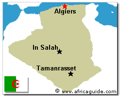
The northern parallel mountain ranges of the Saharan Tell or Maritime Atlas, comprising coastal massifs and inland ranges, and the Saharan Atlas divide Algeria into three longitudinal zones running generally eastwest: the Mediterranean zone; the high plateaus; and the Sahara which covers some 85% of the entire area. About half of Algeria is 914 m (3,000 ft) or more above sea level, and about 70% of the area is from 762 m (2,500ft) to 1675m (5,500 ft) in elevation. The lowest point is Chott Melrhir -40m and the highest Tahat at 3,003m.
Only the main rivers of the Tell have water all year round, and even then the summer flow is small. None of the rivers are navigable. The mountainous areas of the High Plateaus are poorly watered; most of the rivers and streams flow irregularly, since they depend an erratic rainfall for water. In the High Plateaus lie many salt marshes and dry or shallow lakes. Further south, the land becomes increasingly arid, merging into the completely dry Sahara desert.
Source: africaguide.com
1 comment:
I think its a nice introduction about this second largest country in Africa.I got many new facts about this country from this post which I never heard before.Thanks for increasing my knowledge.
Kayak
Post a Comment